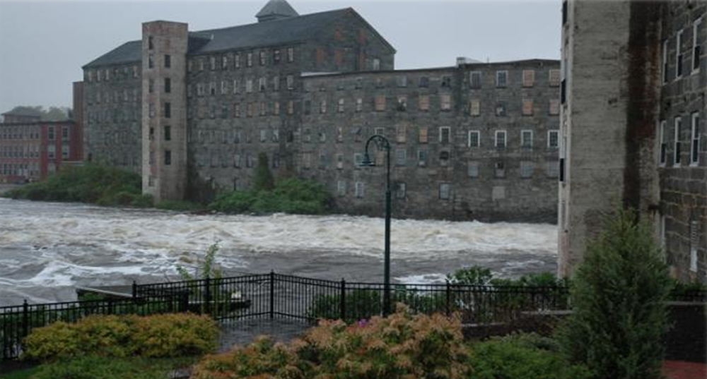
The Climate Risk in the Seacoast: Assessing Vulnerability of Municipal Resources to Climate Change (C-RiSe) was carried out to assess impacts from climate change on infrastructure, natural resources, and other assets in ten coastal New Hampshire municipalities. Project components included:
- Sea-level rise and storm surge inundation mapping | Water levels for sea-level rise and sea-level rise combined with storm surge scenarios were mapped for each coastal municipality.
- Culvert analysis | Modeling was developed to assess culvert hydrology, hydraulic capacity, and aquatic organism passage at various flows under projected climatic conditions. Modeling results enabled municipalities to identify and categorize culverts for replacement that have inadequate flow capacity and/or present barriers to passage of aquatic organisms.
- Vulnerability assessments | A vulnerability assessment that quantifies and maps impacts to transportation systems, critical facilities and infrastructure, and natural resources was conducted for each municipality in order to provide a broad overview of the potential risk and vulnerability of municipal assets and resources resulting from projected increases in storm surge, sea level, and precipitation.
- Hazard mitigation planning | Outreach and technical assistance was provided to each municipality in order to inform municipal leaders about future flood risks and incorporate vulnerability assessment results and adaptation strategies into local planning efforts. Municipal vulnerability assessment reports were prepared for potential inclusion in local hazard mitigation plans.