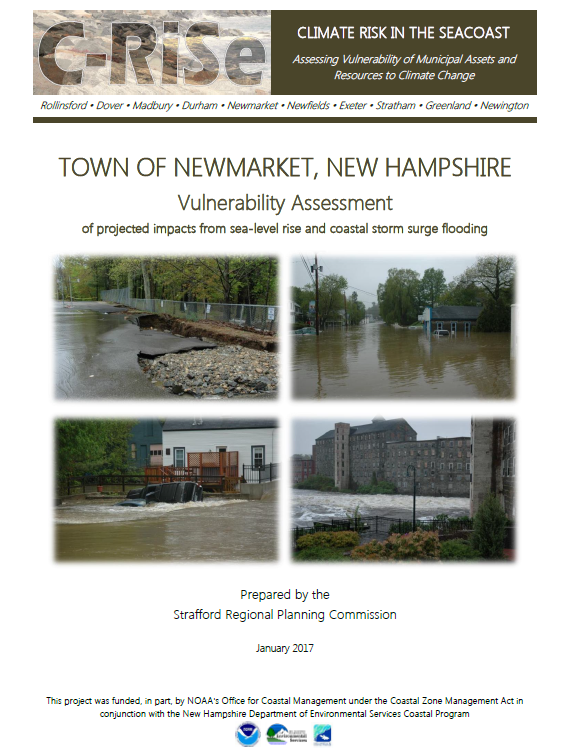
The purpose of this vulnerability assessment report is to provide a broad overview of the potential risk and vulnerability of state, municipal and public assets as a result of projected changes in sea-levels and coastal storm surge. This report should be used for preliminary and general planning purposes only, not for parcel level or site specific analyses. The vulnerability assessment performed was limited by several factors including the vertical accuracy of elevation data (derived from LiDAR) and the static analysis applied to map coastal areas subject to future flooding which does not consider wave action and other coastal dynamics. Also, the estimated flood impacts to buildings and infrastructure are based upon the elevations of the land surrounding them, not the elevation of any structure itself.