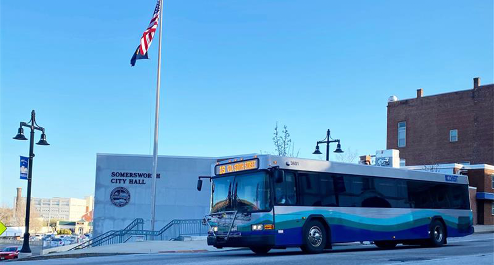
SRPC provides a robust transportation program through its role as a Metropolitan Planning Organization (MPO). The SRPC is a governing body established by federal law to oversee regional transportation planning and manage the investment of federal transportation funds in the region. The governing body is made up of representatives from the 18 municipalities in the Strafford region.
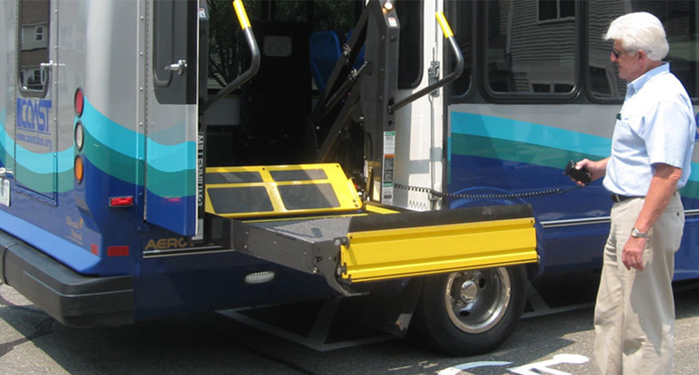
SRPC staff manage the transportation program and provide a range of technical assistance to develop a safe, accessible, multimodal, and resilient transportation system that serves everyone.
- Writing plans that establish goals, objectives, and strategies for improvement of the transportation system
- Working with municipal representatives to develop individual transportation improvement projects and acquire funding
- Conducting studies to better understand transportation challenges and opportunities.
- Conducting outreach to ensure all voices are represented in the transportation planning process
- Providing transportation data, mapping, and analysis services that inform projects and planning
The tasks, programs, projects, and funding for the transportation program are laid out in the Unified Planning Work Program (UPWP). The MPO’s operations are governed by bylaws that detail organizational operations and structure. Under the direction of the MPO member municipalities and partner agencies, SRPC staff develop several planning documents address the core MPO processes, such as The Metropolitan Transportation Plan (Metro Plan), Transportation Improvement Program (TIP), and Public Participation Plan.