The Great Bay Living Shoreline Project
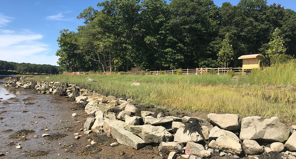
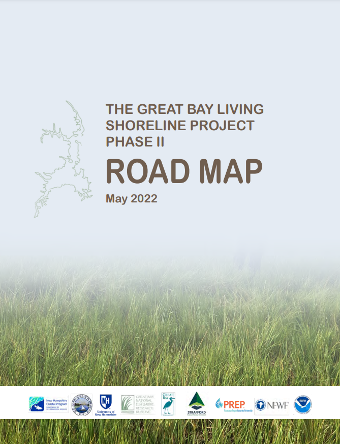
The Great Bay Living Shoreline Project was funded through a grant from the National Fish and Wildlife Foundation and aimed to create a pipeline for living shoreline projects that protect salt marsh habitat and coastal communities from erosion, sea-level rise, and flooding. Science tells us that traditional, grey shoreline stabilization techniques like “rip rap” rock walls are harmful to natural ecosystems, and in some cases, are more prone to failure than more natural shorelines during flood events. We also know that sea level rise is making shoreline erosion worse in the Great Bay Estuary, causing stress on our valuable salt marsh habitats as well as public and private land. The project identified four potential living shoreline sites in Great Bay, in Dover, Durham, and Newmarket . Four design teams, comprised of professional engineers, landscape architects, and ecologists, participated in an 8-month design and training program that culminated in a suggested shoreline design for each site. In addition to the shoreline designs, SRPC, in collaboration with Liz Durfee, developed a Road Map document which summarizes the steps taken during the Great Bay Living Shoreline Project with feedback provided by program partners and participants. The Road Map also discusses the next steps to increase the feasibility of implementing living shorelines in Great Bay Estuary.
View the “Designing Green Solutions: Living Shoreline Ideas For Great Bay Sites” blog posted on the NH Coastal Adaption Workgroup’s website to learn more.
Documents
Maps
There are no maps yet.

Project Info
- Dover |
- Durham |
- Newmarket
Project Staff
Partners
