In 2019 Strafford Metropolitan Planning Organization (MPO) worked with the other three MPOs in NH, the Central NH Planning Commission and NHDOT and Plymouth State University to analyze the Bicycle Level of Traffic Stress (BLTS) on the roads in the state. Before this effort, there was no consistent statewide data on the suitability and safety of New Hampshire’s roads for bicyclists. BLTS looks at a variety of road features including the pavement features, traffic volumes, and speed to determine how much stress a bicyclist may feel while using the road. BLTS uses four categories of cyclists based on their level of comfort while riding on the road with cars.
- Level 1: lowest stress – suitable for all ages and abilities
- Level 2: low stress but attention required – tolerable for most adults
- Level 3: medium stress – suitable for experienced and confident riders
- Level 4: highest stress –suitable only for the most traffic tolerant riders and requires extra caution
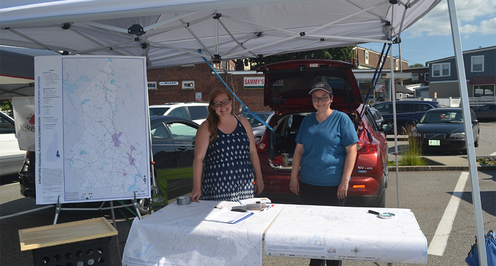
Project partners compiled data on road attributes such as traffic volumes, shoulder widths, and posted speeds by using a combination of existing data from NHDOT and a Google Maps Street View inventory. The Regional Planning Commissions (RPCs) collaborated with computer modeling experts from Plymouth State University to input the road attribute data into a computer model that generated draft maps that showed BLTS scores for roads statewide. These maps were used to collect input from residents to improve the accuracy of the analysis. SRPC collected the input via a web map and by attending the Rochester and Durham Farmer’s Markets in 2019.
SRPC used the BLTS analysis to propose priority projects to be included in the first statewide bicycle and pedestrian plan developed by NHDOT. SRPC will continue to use the analysis to assess safety, connectivity, and accessibility for cyclists and develop improvement projects.