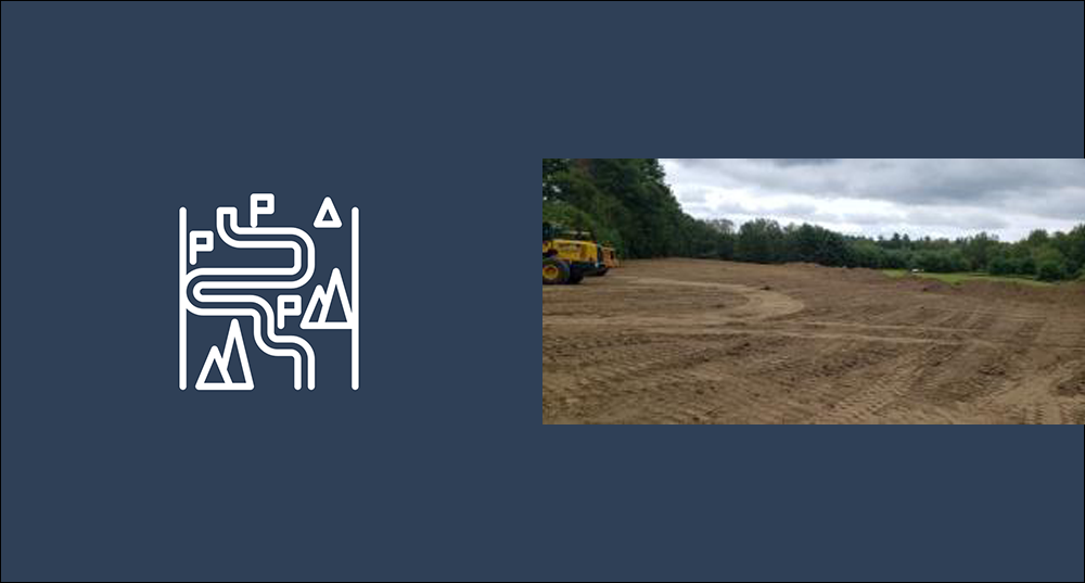
SRPC has the ability to collect trail data, collect data for points of interest along trails, and to create static and interactive maps of individual trails or trail systems. To get started on trail data collection and/or trail mapping, please contact our GIS Planner.